
Late at night an owl circles Cerdeira, filling the valley with its lonely cries. A small creature scurries over the roof tiles, intent on some personal goal I can’t fathom. Deer are known to come right down the steep slate steps of the village. One morning, I saw a herd of five does under the watchful eye of a stag high on the
mountain. They observed me with mild curiosity for several minutes before moving off.
Officially, there are 27 schist villages, spread over 5,000 square kilometres in four regions: Zêzere, Serra da Lousã, Serra do Açor, and Tejo-Ocreza. The aldeias were approved as part of the Aldeias do Xisto network in four phases from 2002 to 2010. The highest villages are Aigra Velha at 770 metres and Fajão at 720 metres.
Cerdeira ranks third at 660 metres. These mountainous areas are a main source of water for many Portuguese towns and cities. Hilltops often have wind farms, supplying clean electricity. Many aldeias carry a “dark sky” designation, where, on some enchanted evening, you might glimpse the Milky Way.
The highest concentration of aldeias do xisto are located in Serra da Lousã, perching on hillsides at 660 metres and higher. Villages that can be visited in a day trip from the town of Lousã include Cerdeira, Candal, Silveira de Baixo/Silveira de Cima/Pé da Lomba (hike-in from Cerdeira only), Catarredor, Vaqueirinho,
Talasnal, Chiqueiro and Casal Novo.
The 27 Aldeias do Xisto at a Glance
Lousã Mountain: Aigra Nova, Aigra Velha, Candal, Casal de São Simão, Casal Novo, Cerdeira, Chiqueiro, Comareira, Ferraria de São João, Gondramaz, Pena, Talasnal Açor Mountain: Benfeita, Aldeia das Dez, Fajão, Sobral de São Miguel, Vila Cova de Alva
Zêzere river area: Barroca, Álvaro, Janeiro de Baixo, Janeiro de Cima, Mosteiro,
Pedrógão Pequeno
Tejo-Ocreza area: Água Formosa, Figueira, Martim Branco, Sarzedas
There are many other schist aldeias not part of the network. Some have been abandoned, are inaccessible, or do not have tourist facilities.
Personality Plus
Each xisto village is an individual, seemingly created to tug at the heartstrings in its own charming, brooding way, exemplifying that peculiar and indefinable Portuguese feeling, saudade. Those distinct personalities are due to geographical situation, construction and habitation patterns.
Within the family trio of villages around Cerdeira, Candal behaves like an older sister, spreading upwards and outwards, colonizing the hillside from the ground, its houses multiplying densely upwards from the national road like a merry fungus, its two streams splashing unexpectedly through the middle of town.
Cerdeira, like a middle child, is quietly hidden high in a fold of a valley and tumbles steeply down it, like the mountain stream that nourishes it.
The twins, Silveira de Baixo and Silveira de Cima, upper and lower, wind along more gentle mountain paths bisected by practical logging and agricultural roads and the inevitable mountain cascade which once supported the watermills, the lifeblood of all of these communities.
Further along the N-236, Catarredor, is a tiny collection of a few homes, sitting like the baby of a blended family, bridging the gap to the other nearby xisto villages of Vaqueirinho, Talasnal, Chiqueiro and Casal Novo. Smaller roads fracture off in long, knobbly fingers of asphalt, each ending high up in a lofty schist aerie. There is no onward way out by car, and it is necessary to descend back along each village road as it hives repeatedly back upon itself before rejoining the N-236 toward Lousã.
Talasnal seems the most visitor-friendly of the group, featuring a gift shop, restaurant, café, mobility-impaired access ramp — and an ominous construction site using concrete building blocks instead of traditional schist.
Along the way are several breathtaking miradouros (lookout points), the abandoned Antiga Casa da Guarda Florestal (the old “house of the forest guard”) and the intriguing Terreiro das Bruxas (the Witch Yard) picnic park. A cascading waterfall tumbles down through rocky clefts and moss-covered trees at nearly every turn, as the road snakes along the declivities. At various points the bucolic vistas give way to the rude scars of clear-cuts leap-frogging down the mountains, and sometimes, right over the N-236.
Much of these higher-altitude lands remain privately owned, which some see as a problem that impedes conservation of the fragile highlands. Clearcuts leave the steep lands barren and prone to landslides that can wash out roads during seasonal rains. Fog and rain can blanket this area too, turning the charming the twisting roads into a white-knuckle drive for the uninitiated.
Slow down and take care!
Thanks again for this fabulous blog from Leslie Smith
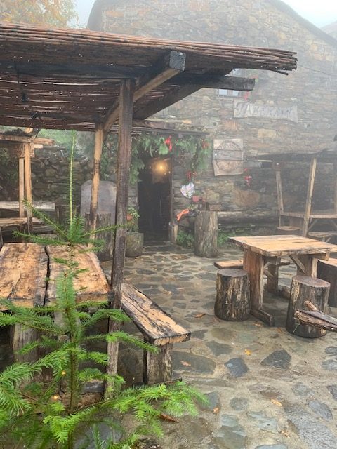
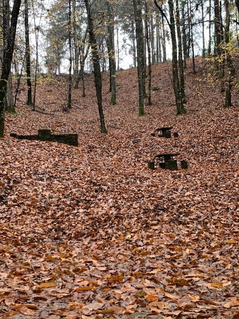
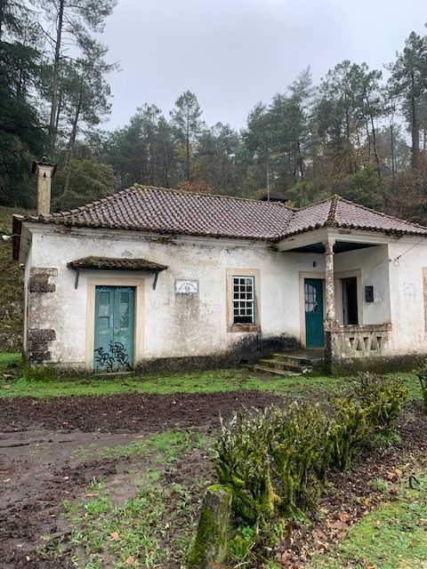
Photo credit: Leslie Smith